AKARI Far-infrared All-Sky Survey Maps

Permalinks
DOI
10.26131/IRSA653
Publisher
IPAC
Author(s)
AKARI Team
Title
AKARI Far-infrared All-Sky Survey Maps
Description
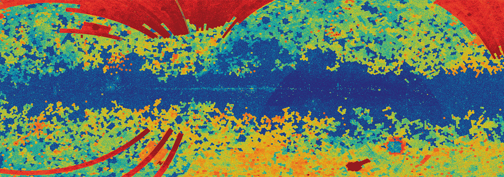
The AKARI Far-infrared All-Sky Survey Maps is a set of image data based on the AKARI All-Sky Survey with 4 far-infrared bands at N60 (65 um), WIDE-S (90 um), WIDE-L (140 um), and N160 (160 um). An individual image file is prepared in FITS format, which covers a sky region of 6.0 deg x 6.0 deg in ecliptic coordinates centres of adjuscent maps are spaced at 5.0 deg both in ecliptic longitudinal and latitudinal directions. The image data consists of four files on sky-brightness, standard deviation of the image data at each pixel position, spatial scan numbers of the observations, and number of data samples at each pixel position (weighted by a Gaussian function).
This dataset or service is made available by the Infrared Science Archive (IRSA) at IPAC, which is operated by the California Institute of Technology under contract with the National Aeronautics and Space Administration.
Data type
Dataset
Version
Date of data collection
Year of publication
2025